1. Home
  2. State Parks
  3. Illinois

State Parks in Illinois

48 state parks in Illinois with photography planning data — sunrise and sunset azimuths, golden hour by month, Milky Way windows and estimated sky darkness. Madison County has the most (3). The darkest skies are at Cache River State Natural Area (Bortle 2).

Top state parks

State Parks by county

All state parks (48)

NameCountyElevationNearest townSky
CahokiaGateway ArchMadison County—Fairmont City6
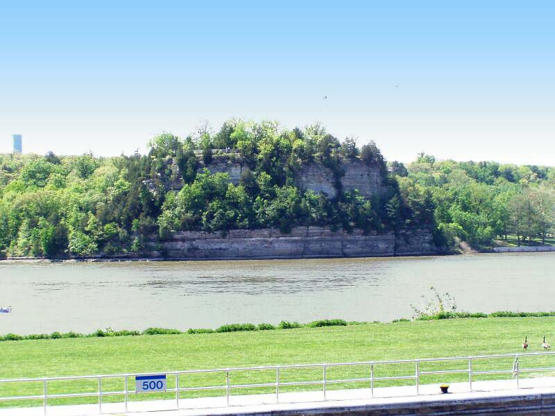
Starved Rock State ParkLaSalle County—Deer Park5
White Pines Forest State ParkOgle County—Mount Morris4
Trail of Tears State ForestUnion County—Cobden3
Kankakee River State ParkKankakee County—Limestone5
Mississippi Palisades State ParkCarroll County—Savanna4
Lowden State ParkOgle County—Oregon5
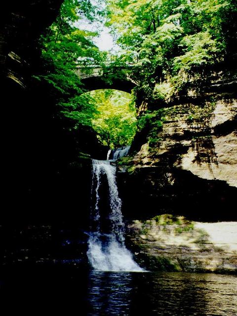
Matthiessen State ParkLaSalle County—Deer Park5
Cache River State Natural AreaJohnson County—Vienna2
Lincoln Log Cabin State Historic SiteColes County—Toledo3
Apple River Canyon State ParkJo Daviess County—Warren3
Giant City State ParkJackson County—Cobden3
Jones-Confluence Point State ParkGateway ArchMadison County—Hartford6
Chain O' Lakes State ParkLake County—Channel Lake6
Channahon State ParkWill County—Channahon6
Lincoln-Herndon Law Offices State Historic SiteLincoln HomeSangamon County—Springfield7
Moraine Hills State ParkMcHenry County—McHenry7
Morrison-Rockwood State ParkWhiteside County—Morrison4
Rock Cut State ParkBoone County—Machesney Park5
Sand Ridge State ForestMason County—Manito3
Hennepin Canal Parkway State ParkBureau County—Princeton3
Jubilee College State ParkPeoria County—Dunlap4
Adeline Jay Geo-Karis Illinois Beach State ParkLake County—Zion7
Shabbona Lake State ParkDeKalb County—Waterman4
Lake Murphysboro State ParkJackson County—Murphysboro4
Beaver Dam State ParkMacoupin County—Carlinville4
Castle Rock State ParkOgle County—Oregon4
Lincoln Trail State ParkClark County—Marshall4
Tunnel Hill State TrailSaline County—Eldorado5
Volo Bog State Natural AreaMcHenry County—Lakemoor7
Fort Kaskaskia State Historic SiteRandolph County—Chester3
Argyle Lake State ParkMcDonough County—Colchester3
Ferne Clyffe State ParkJohnson County—Goreville3
Franklin Creek State Natural AreaLee County—Carthage4
Red Hills State ParkLawrence County—Sumner4
Dixon Springs State ParkPope County—Vienna2
Silver Springs State Fish and Wildlife AreaKendall County—Plano5
Snakeden Hollow State Fish and Wildlife AreaKnox County—Galva3
Spring Lake State Fish and Wildlife AreaTazewell County—Manito4
Horseshoe Lake State ParkGateway ArchMadison County—Fairmont City6
Gebhard Woods State ParkGrundy County—Morris6
Banner Marsh State Fish and Wildlife AreaPeoria County—Glasford4
Washington County State Recreation AreaWashington County—Nashville3
Albany Mounds State Historic SiteWhiteside County—Camanche5
Des Plaines State Fish and Wildlife AreaWill County—Channahon5
Johnson-Sauk Trail State Recreation AreaBureau County—Kewanee4
Pere Marquette State ParkCalhoun County—Winfield4
Big River State ForestHenderson County—Oquawka3

Sky = estimated Bortle class (1 darkest – 9 brightest).

Map

How to photograph state parks

State parks often protect a signature feature — a gorge, lake or overlook — that is best in early morning before visitors and harsh light arrive.

  • Check park hours: many state parks close at dusk, which affects sunset and night shooting.
  • Ask rangers about photography permits for commercial work, models or drones.
  • Weekday mornings are the least crowded at popular viewpoints.
  • Trail maps often mark overlooks — combine them with the sun azimuth to plan.
  • Day-use fees or passes are common; buy them online before arriving.

Season: Spring wildflowers and autumn color are peak seasons in most parks.