Be there when the light is.
A field journal for nature photographers: 17,570 U.S. locations with sunrise and sunset directions, golden hour by month, Milky Way windows and dark-sky estimates — plus bloom calendars, aurora odds and 103 free tools that run in your browser.
How it works
Plan a shoot in three steps
Find the place
Browse waterfalls, overlooks, lighthouses, parks and ghost towns by state — or search any name.
Read the light
Every page shows where the sun rises and sets each season, golden hour by month and when the Milky Way is up.
Check the sky
Live cloud forecast at sunrise and sunset, moon phase, aurora Kp and tides — then go.
Tonight, where you are
The night sky in one glance
Computed in your browser for your time zone.
Photo locations
17,570 waterfalls, overlooks, lighthouses, parks and more — each with light and night-sky data.
Open →National parks
465 NPS sites with photo spots, golden hour, Milky Way and permits.
Open →Night sky
Milky Way by state, aurora Kp thresholds, meteor showers and moon phases.
Open →Nature calendars
What blooms and which birds, butterflies and mammals are around, month by month.
Open →Golden hour by city
Live sunrise, sunset and golden hour for 2,600 cities.
Open →Camera & lens database
1,043 cameras and 1,160 lenses with NPF and hyperfocal tables.
Open →Right now · October
Autumn color and the Orionids
Fall color peaks across most states; the Orionids peak around October 21.
 Covered Bridge
 Covered Bridge
 Covered Bridge
 Covered Bridge
 Covered Bridge
 Covered Bridge
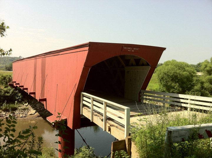 Covered Bridge
 Covered Bridge
Explore by subject
What do you want to photograph?










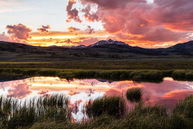
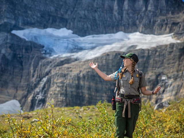
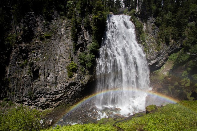
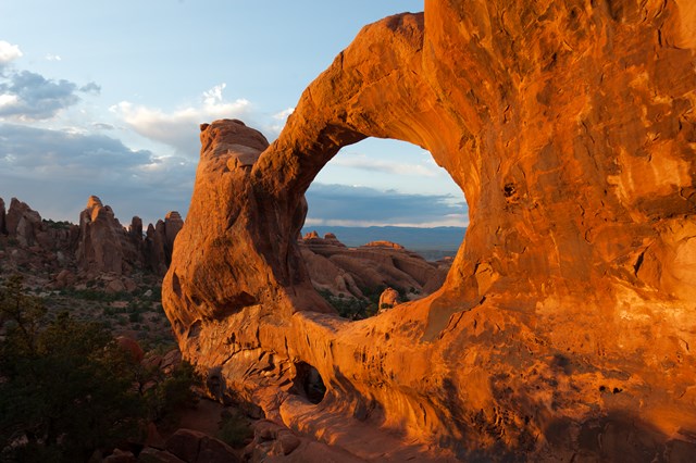
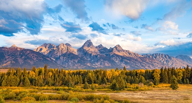
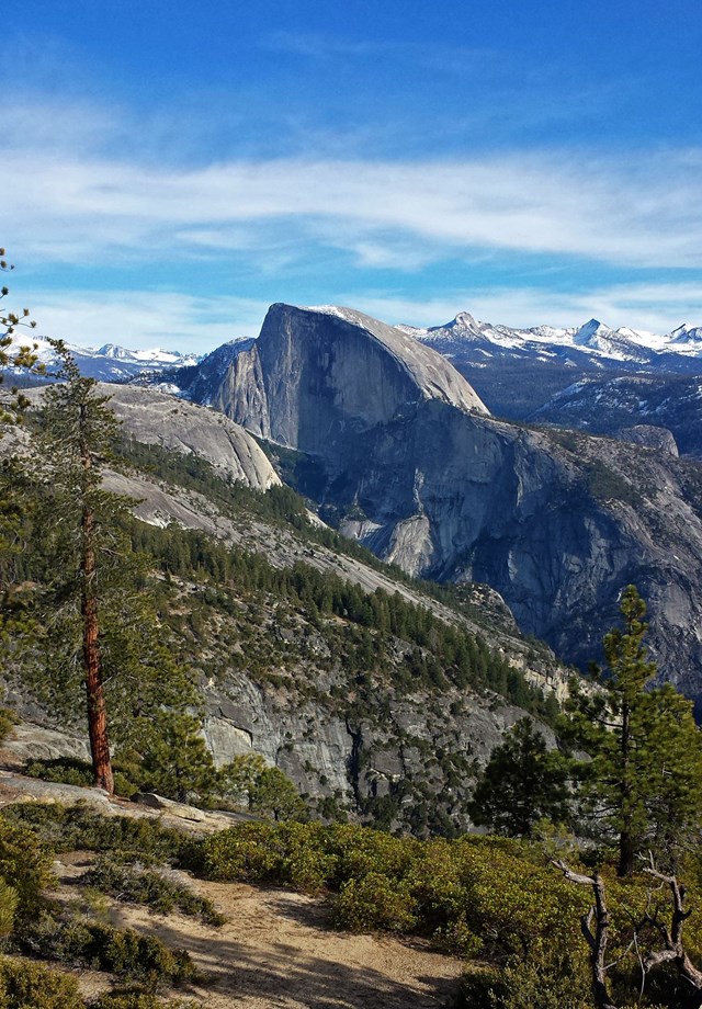
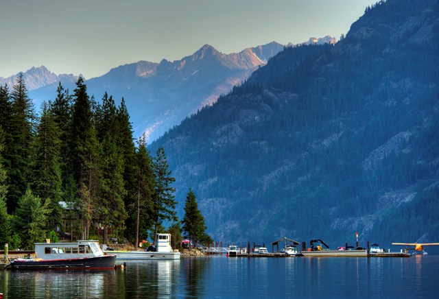
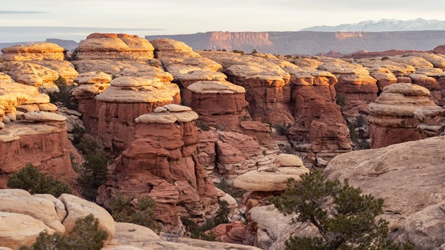
Fifty states
Pick a state
 Alabama227
 Alaska708
 Arizona754
 Arkansas133
 California1,588
 Colorado691
 Connecticut195
 Delaware65District of Columbia7
 Florida410
 Georgia362
 Hawaii293
 Idaho336
 Illinois174
 Indiana222
 Iowa81
 Kansas48
 Kentucky146
 Louisiana104
 Maine308
 Maryland172
 Massachusetts356
 Michigan653
 Minnesota303
 Mississippi95
 Missouri251
 Montana465
 Nebraska59
 Nevada388
 New Hampshire253
 New Jersey141
 New Mexico234
 New York677
 North Carolina482
 North Dakota100
 Ohio317
 Oklahoma95
 Oregon923
 Pennsylvania576
 Rhode Island76
 South Carolina121
 South Dakota76
 Tennessee343
 Texas307
 Utah664
 Vermont200
 Virginia394
 Washington974
 West Virginia150
 Wisconsin296
 Wyoming577
103 free tools
Calculators that live in your browser
Depth of field, hyperfocal, NPF star limits, ND filters, sun & moon on a map, EXIF viewer, tiny planets — your photos never leave your device.
Online kaleidoscope maker
Turn any flower or leaf into a 4–24 mirror kaleidoscope and export up to 4096 px — the browser successor to the classic Photoshop kaleidoscope templates.
Make one →Field guides
Learn the craft
Built from open data — USGS GNIS, GeoNames, OpenStreetMap, Wikidata, the National Park Service, NASA POWER, NOAA, USNO, iNaturalist and Lensfun. See all sources.
Latest posts
- Getting Started with Wetland Photography Tips for Beginners
- How to Get Started with Waterfall Photography for Beginners
- Getting Started with Mountain Photography for Beginners
- Getting Started with Woodland Photography Basics
- Fundamentals of Landscape Photo Sequencing for Visual Flow
- Getting Started with Blue Hour Photography for Beginners
- Golden Hour Photography for Beginners Starting Out
- Fundamentals of Nature Photo Printing for Sharp Prints
- Photo Location Journaling Basics for Better Field Records
- Selecting a Travel Tripod for Stability and Portability