
Eagle River is a city of about 24,793 people in Anchorage Municipality, Alaska, at 98 m (322 ft). Today the sun rises at 8:55 AM and sets at 6:32 PM; the evening golden hour runs 5:28 PM – 7:00 PM. Below are monthly times, sun directions, the best photo locations within 80 km and the nearest dark skies.
Sunrise, sunset & golden hour by month
| Month (15th) | Sunrise | Golden hour ends | Golden hour starts | Sunset | Blue hour ends | Daylight |
|---|---|---|---|---|---|---|
| January | 9:57 AM | 11:47 AM | 2:30 PM | 4:19 PM | 5:16 PM | 6h 22m |
| February | 8:42 AM | 9:50 AM | 4:37 PM | 5:45 PM | 6:31 PM | 9h 03m |
| March | 8:16 AM | 9:14 AM | 7:02 PM | 8:00 PM | 8:43 PM | 11h 44m |
| April | 6:37 AM | 7:37 AM | 8:21 PM | 9:20 PM | 10:09 PM | 14h 43m |
| May | 5:11 AM | 6:22 AM | 9:29 PM | 10:40 PM | 11:52 PM | 17h 30m |
| June | 4:19 AM | 5:46 AM | 10:13 PM | 11:40 PM | — | 19h 21m |
| July | 4:50 AM | 6:09 AM | 10:01 PM | 11:20 PM | 12:55 AM | 18h 30m |
| August | 6:07 AM | 7:10 AM | 8:57 PM | 10:00 PM | 10:55 PM | 15h 53m |
| September | 7:26 AM | 8:23 AM | 7:26 PM | 8:23 PM | 9:07 PM | 12h 57m |
| October | 8:42 AM | 9:44 AM | 5:45 PM | 6:48 PM | 7:32 PM | 10h 06m |
| November | 9:06 AM | 10:34 AM | 2:54 PM | 4:22 PM | 5:14 PM | 7h 16m |
| December | 10:10 AM | — | — | 3:39 PM | 4:41 PM | 5h 29m |
Local time in America/Anchorage, daylight saving time included.
Where the sun rises and sets in Eagle River
At Eagle River the sunrise point swings a long way through the year: about 31° (NNE) at the June solstice and 144° (SE) in late December. Sunset moves from 329° (NNW) in June to 217° (SW) in December, and the midday sun climbs to 52° in summer but only 5° in winter.
Best photo spots near Eagle River
69 photo locations lie within 80 km of Eagle River. Each links to a full planning page with sunrise and sunset directions.
Scenic Viewpoints
 Scenic ViewpointScenic ViewpointScenic ViewpointScenic ViewpointScenic ViewpointScenic Viewpoint
Waterfalls
 WaterfallWaterfallWaterfallWaterfallWaterfallWaterfall
State Parks


Lakes


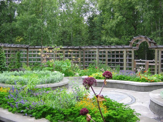
Botanical Gardens
Covered Bridges
Night sky, Milky Way & aurora
The sky over central Eagle River is estimated at Bortle 6 (bright suburban sky). The nearest truly dark location in our database is Vassar Glacier, about 92 km (57 mi) away (Bortle 1). Northern lights need roughly Kp 0.0+ to appear low on the northern horizon here.
Darkest skies within 200 km
| Location | Type | Distance | Est. Bortle |
|---|---|---|---|
| Vassar Glacier | Glacier | 92 km (57 mi) | 1 |
| Smith Glacier | Glacier | 96 km (59 mi) | 1 |
| Mount Marcus Baker | Mountain Peak | 98 km (61 mi) | 1 |
| Chugach National Forest | National Forest | 99 km (61 mi) | 1 |
| Kenai Lake | Lake | 101 km (62 mi) | 1 |
| Culross Island Light | Lighthouse | 101 km (63 mi) | 1 |
| Matanuska Glacier | Glacier | 112 km (69 mi) | 1 |
| Matanuska Glacier Viewpoint | Scenic Viewpoint | 113 km (70 mi) | 1 |
Cloud cover by month
Long-term NASA satellite data for this area show March as the clearest month (about 63% average cloud cover) and July as the cloudiest (83%). July is the warmest month and January the coldest, which matters for gear, snow access and how long batteries last at night.