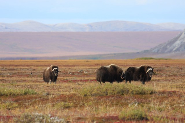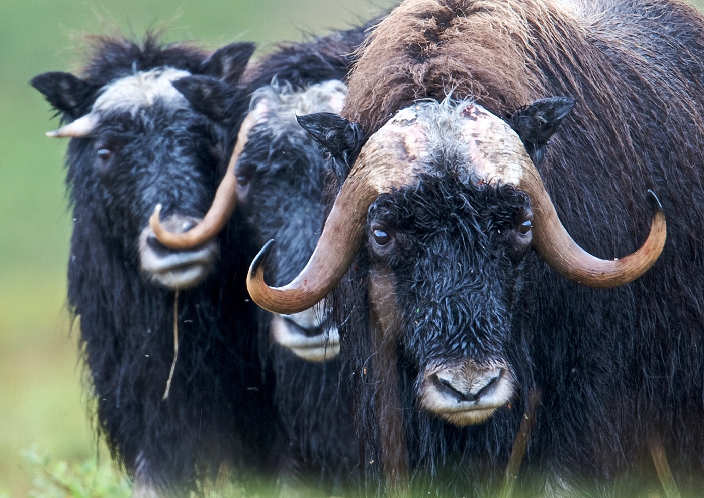
Bering Land Bridge National Preserve is a National Preserve in Alaska. This guide combines the park's official information with computed sunrise, sunset and Milky Way times, satellite climate data and nearby photo locations.
Sunrise, sunset & golden hour
At this latitude the sun does not rise or set on some days of the year, so check the monthly table below for daylight and twilight.
| Month (15th) | Sunrise | Golden hour ends | Golden hour starts | Sunset | Sunset az. | Daylight |
|---|---|---|---|---|---|---|
| January | 11:50 AM | — | — | 4:25 PM | 212° | 4h 35m |
| February | 10:03 AM | 11:32 AM | 4:54 PM | 6:22 PM | 240° | 8h 19m |
| March | 9:17 AM | 10:26 AM | 7:49 PM | 8:57 PM | 267° | 11h 40m |
| April | 7:17 AM | 8:28 AM | 9:28 PM | 10:39 PM | 297° | 15h 22m |
| May | 5:20 AM | 6:55 AM | 10:54 PM | 12:30 AM | 326° | 19h 10m |
| June | — | 6:05 AM | 11:53 PM | — | — | — |
| July | 4:36 AM | 6:35 AM | 11:33 PM | 1:32 AM | 339° | 20h 56m |
| August | 6:37 AM | 7:55 AM | 10:11 PM | 11:29 PM | 309° | 16h 52m |
| September | 8:19 AM | 9:27 AM | 8:21 PM | 9:28 PM | 279° | 13h 09m |
| October | 9:55 AM | 11:11 AM | 6:17 PM | 7:33 PM | 251° | 9h 38m |
| November | 10:46 AM | — | — | 4:41 PM | 222° | 5h 55m |
| December | 12:25 PM | — | — | 3:23 PM | 201° | 2h 58m |
Computed for the park's reference point (65.9609, -164.4086); large parks span several minutes of difference.
Milky Way & dark skies
The Milky Way's bright core (in Sagittarius) barely clears the southern horizon at this latitude, so focus on winter Milky Way, aurora or star trails instead.
| Month | Core visible (15th) | Hours | Max altitude |
|---|---|---|---|
| January | Not visible in darkness | — | — |
| February | Not visible in darkness | — | — |
| March | Not visible in darkness | — | — |
| April | Not visible in darkness | — | — |
| May | Not visible in darkness | — | — |
| June | Not visible in darkness | — | — |
| July | Not visible in darkness | — | — |
| August | Not visible in darkness | — | — |
| September | Not visible in darkness | — | — |
| October | Not visible in darkness | — | — |
| November | Not visible in darkness | — | — |
| December | Not visible in darkness | — | — |
1 Estimated Bortle 1 — Excellent dark-sky site. The Milky Way casts faint shadows; zodiacal light and airglow are obvious.
Weather & best time to visit
Weather in the Seward Peninsula is generally characterized by long freezing winters and short, cool summers. Coastal areas typically have mild weather, while the interior has greater seasonal variation in temperature and precipitation.
Weather overview: National Park Service.
Long-term NASA satellite data for this area show March as the clearest month (about 55% average cloud cover) and October as the cloudiest (82%). July is the warmest month and January the coldest, which matters for gear, snow access and how long batteries last at night.
Average cloud cover (%)
Average high (°F)
Photography permits, drones & fees
Permits. Under federal law (54 U.S.C. 100905), still photography in National Park Service areas needs a permit only when it (1) takes place where members of the public are not allowed, (2) uses models, sets or props that are not part of the location's natural or cultural resources or administrative facilities, or (3) would cause the park to incur additional administrative costs to monitor the activity. Ordinary visitor and most landscape photography needs no permit. Commercial filming rules are separate and have changed in recent years — confirm current requirements with the park before a paid shoot.
Drones. Launching, landing or operating unmanned aircraft (drones) is prohibited in National Park Service units under a 2014 Superintendent's closure (36 CFR 1.5), except where a park has issued specific written approval. Flying from outside the boundary over park land can also violate park rules and disturb wildlife.
Getting there
The Bering Land Bridge Heritage Center is located in Nome, AK. Nome, AK is not on the road system and may be reached via a commercial flight. The Bering Land Bridge Visitor Center is located about a mile from Nome Airport. Bering Land Bridge National Preserve is located in the northern portion of the Seward Peninsula. There are no roads or trails into the parklands. Logistics on how to reach Bering Land Bridge is based on an individual’s resources and abilities.
Directions: National Park Service.
Activities
- Camping
- Backcountry Camping
- Dog Sledding
- Flying
- Fixed Wing Flying
- Hiking
- Backcountry Hiking
- Hunting and Gathering
- Gathering and Foraging
- Junior Ranger Program
- Snowmobiling
- Wildlife Watching
- Birdwatching