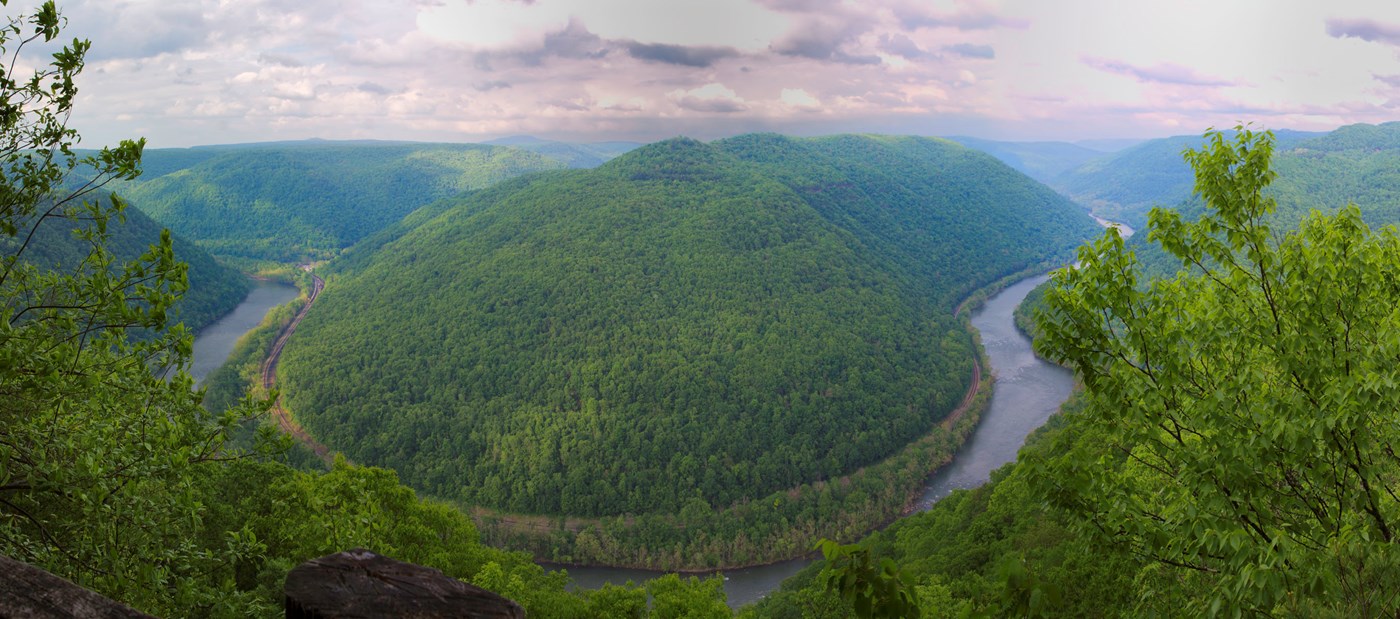
New River Gorge National Park & Preserve is a National Park & Preserve in West Virginia. This guide combines the park's official information with computed sunrise, sunset and Milky Way times, satellite climate data and 18 photo locations inside or next to the park.
Best photo spots in New River Gorge
We matched 18 named overlooks, waterfalls, peaks and other features to New River Gorge. Each has its own page with sun directions and a monthly golden hour table.
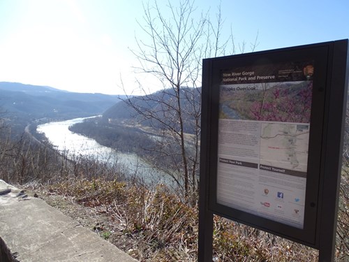
Scenic Viewpoints (1)
Waterfalls (6)
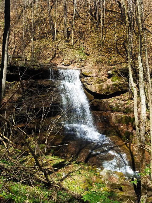 Waterfall
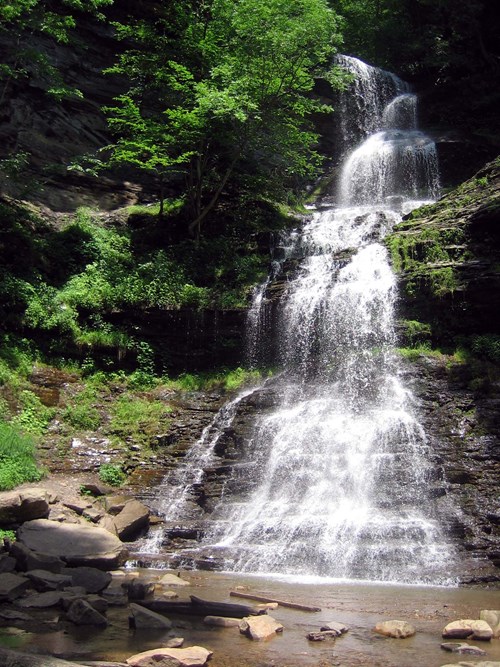 Waterfall
 Waterfall
 WaterfallWaterfallWaterfall
Canyons (1)
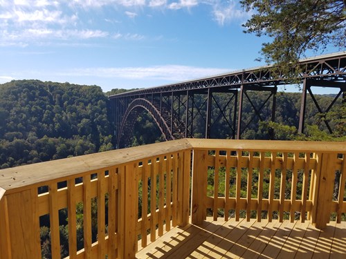
Rock Formations (2)
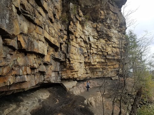

Ghost Towns (6)
 Ghost Town
 Ghost Town
 Ghost Town
 Ghost TownGhost TownGhost Town
State Parks (2)


Sunrise, sunset & golden hour
At New River Gorge the sunrise point swings a long way through the year: about 59° (ENE) at the June solstice and 120° (ESE) in late December. Sunset moves from 301° (WNW) in June to 241° (WSW) in December, and the midday sun climbs to 76° in summer but only 29° in winter.
| Month (15th) | Sunrise | Golden hour ends | Golden hour starts | Sunset | Sunset az. | Daylight |
|---|---|---|---|---|---|---|
| January | 7:39 AM | 8:19 AM | 4:49 PM | 5:29 PM | 244° | 9h 50m |
| February | 7:15 AM | 7:51 AM | 5:27 PM | 6:03 PM | 255° | 10h 48m |
| March | 7:36 AM | 8:11 AM | 6:57 PM | 7:31 PM | 268° | 11h 55m |
| April | 6:49 AM | 7:25 AM | 7:25 PM | 8:00 PM | 283° | 13h 10m |
| May | 6:15 AM | 6:52 AM | 7:50 PM | 8:28 PM | 295° | 14h 13m |
| June | 6:02 AM | 6:41 AM | 8:09 PM | 8:49 PM | 301° | 14h 46m |
| July | 6:14 AM | 6:53 AM | 8:08 PM | 8:47 PM | 298° | 14h 32m |
| August | 6:40 AM | 7:16 AM | 7:43 PM | 8:19 PM | 289° | 13h 39m |
| September | 7:07 AM | 7:41 AM | 6:59 PM | 7:34 PM | 275° | 12h 27m |
| October | 7:33 AM | 8:08 AM | 6:12 PM | 6:48 PM | 260° | 11h 15m |
| November | 7:05 AM | 7:44 AM | 4:35 PM | 5:14 PM | 247° | 10h 09m |
| December | 7:33 AM | 8:14 AM | 4:26 PM | 5:07 PM | 241° | 9h 33m |
Computed for the park's reference point (37.8688, -80.9996); large parks span several minutes of difference.
Milky Way & dark skies
From New River Gorge, the Milky Way core is visible in a dark sky from March through September. June gives the longest window (about 5.3 hours on a moonless night), and the core peaks around 23° above the southern horizon. Our light-pollution model puts the sky at about Bortle 3 (rural sky), good enough for detailed Milky Way images.
| Month | Core visible (15th) | Hours | Max altitude |
|---|---|---|---|
| January | Not visible in darkness | — | — |
| February | 5:21 AM – 5:41 AM | 0.3 | 13° |
| March | 4:29 AM – 5:59 AM | 1.5 | 20° |
| April | 2:33 AM – 5:13 AM | 2.7 | 23° |
| May | 12:32 AM – 4:22 AM | 3.8 | 23° |
| June | 10:43 PM – 4:03 AM | 5.3 | 23° |
| July | 10:37 PM – 2:37 AM | 4.0 | 23° |
| August | 9:56 PM – 12:36 AM | 2.7 | 23° |
| September | 9:03 PM – 10:33 PM | 1.5 | 20° |
| October | 8:15 PM – 8:35 PM | 0.3 | 13° |
| November | Not visible in darkness | — | — |
| December | Not visible in darkness | — | — |
3 Estimated Bortle 3 — Rural sky. Some light domes sit on the horizon, but the Milky Way still looks complex overhead.
Weather & best time to visit
Weather in the Appalachian Mountains can be unpredictable and can change quickly. Always be prepared for the possibility of sudden storms. Weather in the mountains is often cooler and wetter than the surrounding area. On average, the warmest month is July. The maximum average precipitation also occurs in July.
Weather overview: National Park Service.
Long-term NASA satellite data for this area show October as the clearest month (about 54% average cloud cover) and February as the cloudiest (69%). July is the warmest month and January the coldest, which matters for gear, snow access and how long batteries last at night.
Average cloud cover (%)
Average high (°F)
Photography permits, drones & fees
Permits. Under federal law (54 U.S.C. 100905), still photography in National Park Service areas needs a permit only when it (1) takes place where members of the public are not allowed, (2) uses models, sets or props that are not part of the location's natural or cultural resources or administrative facilities, or (3) would cause the park to incur additional administrative costs to monitor the activity. Ordinary visitor and most landscape photography needs no permit. Commercial filming rules are separate and have changed in recent years — confirm current requirements with the park before a paid shoot.
Drones. Launching, landing or operating unmanned aircraft (drones) is prohibited in National Park Service units under a 2014 Superintendent's closure (36 CFR 1.5), except where a park has issued specific written approval. Flying from outside the boundary over park land can also violate park rules and disturb wildlife.
Getting there
To reach Park Headquarters take Route 19 North from Beckley to the Glen Jean exit. Upon exiting Rt 19, make an immediate left turn. At the next intersection, turn right. Park Headquarters will be straight ahead on the right. GPS Coordinates for Headquarters: 81.15587W, 37.92775N PLEASE NOTE: Third party search and map apps may direct you to an potentially inaccessible area of the park with no amenities or rangers stations. Please refer to the Visitor Center or Park Headquarters addresses for directions.
Directions: National Park Service.
Activities
- Arts and Culture
- Theater
- Auto and ATV
- Scenic Driving
- Astronomy
- Biking
- Mountain Biking
- Road Biking
- Boating
- Camping
- Backcountry Camping
- Canoe or Kayak Camping
- Car or Front Country Camping
- Group Camping
- RV Camping
- Climbing
- Rock Climbing
- Fishing
- Freshwater Fishing
- Fly Fishing
- Food
- Picnicking
- Guided Tours
- Self-Guided Tours - Walking
Nearby parks
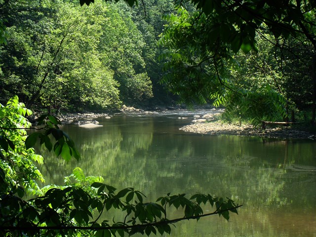 WV
 WV
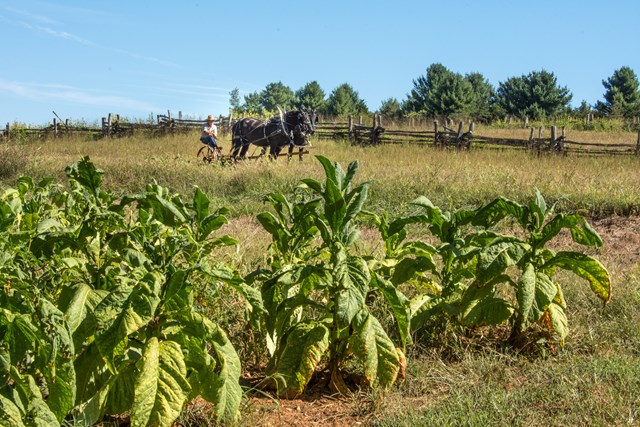 VA