
Alabama State Route 281 is a designated scenic route in Alabama, about 27 km (17 mi) long.
State Route 281 in Alabama, also known as SR 281 and as Talladega Scenic Drive, extends from U.S. Route 78/State Route 9 (US 78/SR 9) west of Heflin to the intersection of two forest roads in the Talladega National Forest. Running the crest of the Talladega Mountains, Alabama's highest range, SR 281 was originally an unpaved forest route known as Skyway Motorway prior to the reconstruction into a paved scenic highway. SR 281 connects traffic to Cheaha State Park, a state park built on top of the highest point in the state, elevation 2,405 feet (733 m). SR 281 does cross both US 431 and I-20 via overpasses, but does not intersect either of them. US 431 can be reached however via Cleburne County Road 131 (CR 131), a former alignment of the Skyway Motorway and a short connector to SR 281.From Wikipedia — Alabama State Route 281, CC BY-SA 4.0.
Top locations in Alabama
 Mountain Peak
Cheaha Mountain
 Waterfall
Little River Falls
 Ghost Town
Cahaba
 Lighthouse
Middle Bay Light
 Lighthouse
Sand Island Light
 Waterfall
Noccalula Falls Park
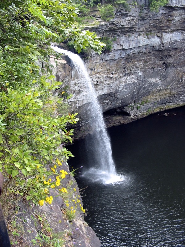 Waterfall
DeSoto Falls
 Ghost Town
Gantts Quarry
 Ghost Town
Claiborne
Tips for scenic drive photography
- Drive the route in both directions — the views change completely.
- Plan stops for golden hour at the highest overlooks; use pull-outs, never stop on the roadway.
- Check seasonal closures for high-elevation roads before you go.
- A polarizer cuts windshield-like glare on wet roads and foliage.