
Blue Ridge Parkway is a designated scenic route in North Carolina, Virginia, about 469 km (291 mi) long.
The Blue Ridge Parkway is a National Parkway and All-American Road in the United States, noted for its scenic beauty. The parkway, which is the longest linear park in the U.S., runs for 469 miles (755 km) through 29 counties in Virginia and North Carolina, linking Shenandoah National Park to Great Smoky Mountains National Park. It runs mostly along the spine of the Blue Ridge, a major mountain chain that is part of the Appalachian Mountains. Its southern terminus is at U.S. Route 441 (US 441) on the boundary between Great Smoky Mountains National Park and the Qualla Boundary of the Eastern Band of Cherokee Indians in North Carolina, from which it travels north to Shenandoah National Park in Virginia. The roadway continues through Shenandoah as Skyline Drive, a similar scenic road which is managed by a different National Park Service unit. Both Skyline Drive and the Virginia portion of thFrom Wikipedia — Blue Ridge Parkway, CC BY-SA 4.0.
Top locations in North Carolina
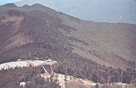 Mountain Peak
Mount Mitchell
 Lighthouse
Bodie Island Light
 Ghost Town
Roanoke Colony
 Beach
Coquina Beach
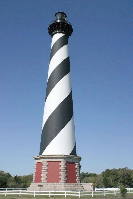 Lighthouse
Cape Hatteras Lighthouse
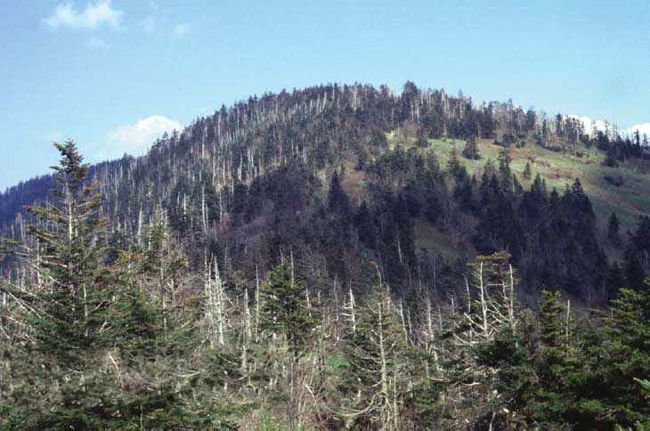 Mountain Peak
Kuwohi
 Waterfall
Bridal Veil Falls
 Waterfall
Dry Falls
 Waterfall
Mitchell Falls
Tips for scenic drive photography
- Drive the route in both directions — the views change completely.
- Plan stops for golden hour at the highest overlooks; use pull-outs, never stop on the roadway.
- Check seasonal closures for high-elevation roads before you go.
- A polarizer cuts windshield-like glare on wet roads and foliage.