
Cherohala Skyway is a designated scenic route in Tennessee, North Carolina, about 43 km (27 mi) long.
The Cherohala Skyway is a 43-mile (69 km) National Scenic Byway and National Forest Scenic Byway that connects Tellico Plains, Tennessee, to Robbinsville, North Carolina, in the southeastern United States. Its name is a portmanteau of Cherokee and Nantahala, the two national forests through which it passes. Along with multiple vistas and overlooks, the skyway provides easy vehicular access to various protected and recreational areas of the Unicoi Mountains, including the Citico Creek Wilderness, the Bald River Gorge Wilderness, and the remote interior of the Joyce Kilmer Memorial Forest.From Wikipedia — Cherohala Skyway, CC BY-SA 4.0.
Top locations in Tennessee
 Waterfall
Cane Creek Falls
 Waterfall
Rockhouse Falls
 Waterfall
Burgess Falls
 Waterfall
Fall Creek Falls
 Waterfall
Piney Creek Falls
 Botanical Garden
Cheekwood Botanical Garden and Museum of Art
 National Forest
Cherokee National Forest
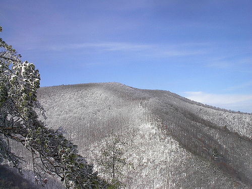 Mountain Peak
Big Frog Mountain
 Mountain Peak
Silers Bald
Tips for scenic drive photography
- Drive the route in both directions — the views change completely.
- Plan stops for golden hour at the highest overlooks; use pull-outs, never stop on the roadway.
- Check seasonal closures for high-elevation roads before you go.
- A polarizer cuts windshield-like glare on wet roads and foliage.