
Colorado River Headwaters Byway is a designated scenic route in Colorado, about 69 km (43 mi) long.
The Colorado River Headwaters National Scenic Byway is an 80-mile (129 km) National Scenic Byway and Colorado Scenic and Historic Byway located in Eagle and Grand counties, Colorado, US. The byway follows the upper Colorado River from Grand Lake down to State Bridge. The byway connects with the Trail Ridge Road/Beaver Meadow National Scenic Byway at Grand Lake.From Wikipedia — Colorado River Headwaters National Scenic Byway, CC BY-SA 4.0.
Photo stops along the way
 Canyon
Byers Canyon
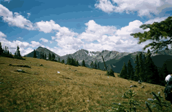 Wilderness Area
Byers Peak Wilderness
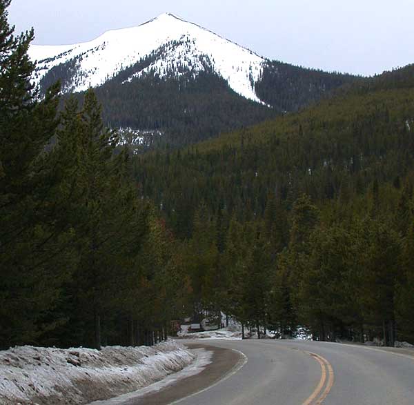 Mountain Peak
Parkview Mountain
 Fire Lookout
Shadow Mountain Lookout
Mountain PassWillow Creek Pass
 Lake
Grand Lake
 Waterfall
Adams Falls
 Wilderness Area
Never Summer Wilderness
 Canyon
Gore Canyon
 Scenic Viewpoint
Moffat Overlook
 Waterfall
Cascade Falls
 Mountain Pass
Arapaho Pass
Tips for scenic drive photography
- Drive the route in both directions — the views change completely.
- Plan stops for golden hour at the highest overlooks; use pull-outs, never stop on the roadway.
- Check seasonal closures for high-elevation roads before you go.
- A polarizer cuts windshield-like glare on wet roads and foliage.