
Grand Mesa Scenic and Historic Byway is a designated scenic route in Colorado, about 50 km (31 mi) long.
The Grand Mesa National Scenic Byway is a 63-mile (101 km) National Scenic Byway, National Forest Scenic Byway, and Colorado Scenic and Historic Byway located in Delta and Mesa counties, Colorado, USA. The byway traverses Grand Mesa, the most extensive flat-topped mountain on Earth, and reaches an elevation of 10,849 feet (3,307 m). The byway comprises Colorado State Highway 65 from Cedaredge to Interstate 70 Exit 49 and Forest Service Road 100 to the Land's End Observatory.From Wikipedia — Grand Mesa National Scenic Byway, CC BY-SA 4.0.
Photo stops along the way
 Canyon
De Beque Canyon
 State Park
James M. Robb – Colorado River State Park
 Scenic Viewpoint
Land O Lakes Overlook
 Natural Arch
Culvert Arch
Scenic ViewpointCold Shivers Point
Scenic ViewpointRed Canyon Overlook
Scenic ViewpointMonument Canyon View
 Rock Formation
Kissing Couple
Scenic ViewpointRedlands View
Natural ArchWindow Rock
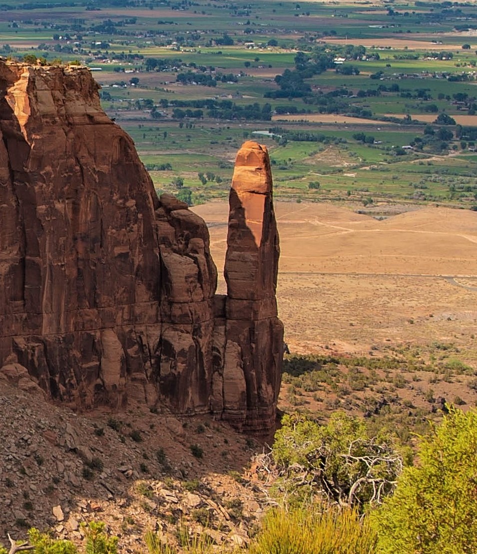 Rock Formation
Sentinel Spire
Scenic ViewpointBook Cliff View
Tips for scenic drive photography
- Drive the route in both directions — the views change completely.
- Plan stops for golden hour at the highest overlooks; use pull-outs, never stop on the roadway.
- Check seasonal closures for high-elevation roads before you go.
- A polarizer cuts windshield-like glare on wet roads and foliage.