Top national forests
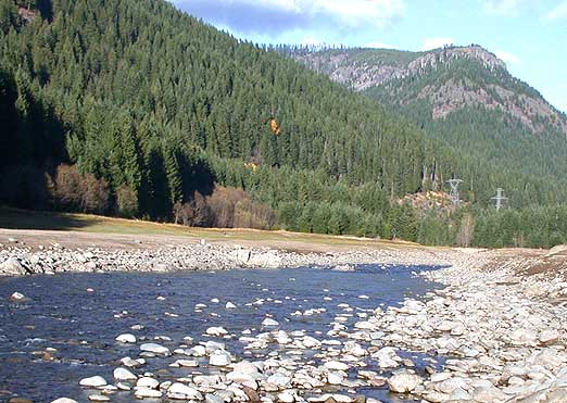 National Forest
Willamette National Forest
 National Forest
Mount Hood National Forest
 National Forest
Deschutes National Forest
 National Forest
Umatilla National Forest
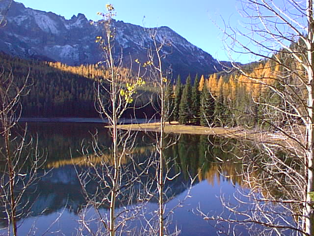 National Forest
Siuslaw National Forest
 National Forest
Wallowa–Whitman National Forest
National ForestMalheur National Forest
 National Forest
Umpqua National Forest
 National Forest
Rogue River–Siskiyou National Forest
 National Forest
Fremont–Winema National Forest
 National Forest
Ochoco National Forest
National ForestFremont National Forest
All national forests (15)
| Name | County | Elevation | Nearest town | Sky |
|---|---|---|---|---|
| Willamette National Forest | Lane County | — | Oakridge | 2 |
| Mount Hood National Forest | Clackamas County | — | Mount Hood Village | 3 |
| Deschutes National Forest | Deschutes County | — | Deschutes River Woods | 4 |
| Umatilla National Forest | Umatilla County | — | Elgin | 2 |
| Siuslaw National Forest | Lincoln County | — | Waldport | 2 |
| Wallowa–Whitman National Forest | Wallowa County | — | Joseph | 1 |
| Malheur National Forest | Grant County | — | John Day | 1 |
| Umpqua National Forest | Douglas County | — | Sutherlin | 2 |
| Rogue River–Siskiyou National Forest | Josephine County | — | Cave Junction | 2 |
| Fremont–Winema National Forest | Klamath County | — | Altamont | 1 |
| Ochoco National Forest | Wheeler County | — | Prineville | 2 |
| Fremont National Forest | Lake County | — | Klamath Falls | 1 |
| Oregon National Forest | Jackson County | — | Williams | 2 |
| Coquille National Forest | Curry County | — | Port Orford | 2 |
| Bull Run National Forest | Clackamas County | — | Mount Hood Village | 3 |
Sky = estimated Bortle class (1 darkest – 9 brightest).
Map
How to photograph national forests
Forests suit soft light — overcast days reduce contrast under the canopy, and morning fog adds depth.
- Dispersed camping is often allowed, which makes sunrise and night shoots easier — check local rules.
- Forest roads can close in winter or after storms; download offline maps.
- Fire restrictions may limit campfires and stoves in summer.
- Look for fire lookouts and high roads for views over the canopy.
- Fall color peaks vary by elevation; follow it downhill over several weeks.
Season: Autumn color and spring flowers draw photographers; winter brings snow-covered forests in the North and West.